Background of Water and Rain Monitoring Station
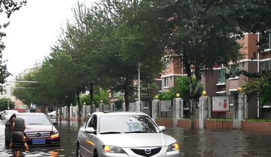
With the intensification of climate change and the frequent occurrence of extreme weather events, especially the drastic fluctuations in rainfall, the problem of urban waterlogging has become increasingly severe. The waterlogging caused by heavy rainfall such as rainstorm not only poses a great threat to urban infrastructure, transportation and public safety, but also causes secondary disasters such as water pollution, housing collapse, mud rock flow, and seriously endangers the safety of people´s lives and property. Meanwhile, frequent urban waterlogging exacerbates the vulnerability of the urban environment, affecting residents´ daily lives and mental health. Therefore, it is particularly important to establish a comprehensive water and rain monitoring system, which can timely and accurately predict and warn extreme weather events, provide scientific basis for urban managers, help take effective preventive measures, reduce the risk of disasters, ensure the safety of citizens, and enhance the resilience of cities to cope with climate change.
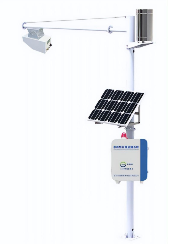
Radar water level/flow rate/rainfall monitoring station
Radar water quality monitoring station is an unmanned system that integrates data collection, storage, transmission, and management
Online monitoring system. The radar water quality monitoring station consists of three parts: front-end radar water level gauge/radar flowmeter, data acquisition instrument, and computer software. The equipment adopts non-contact monitoring method, which does not require direct contact with the medium, making installation and maintenance convenient and having a longer service life.
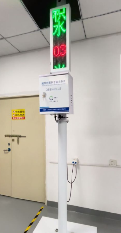
Urban waterlogging monitoring station
The urban waterlogging buried water monitoring system is a system that comprehensively utilizes computer network technology, database technology, communication technology, new sensing technology, etc. It is supported by Internet of Things technology and integrates "energy-saving perception and intelligent services" to build an intelligent monitoring system.
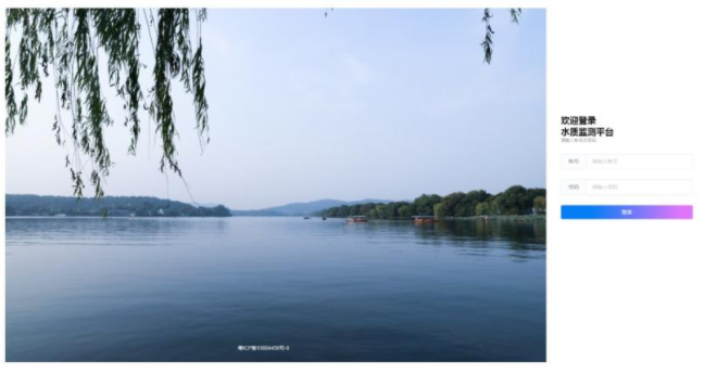
Water and rain monitoring cloud platform
The cloud platform is based on the advanced concepts of "water environment governance+Internet of Things" and "big data". Through large-scale and high-density grid monitoring, it can real-time grasp the changes in water conditions in various regions, and quickly analyze and process relevant data. It is an important means of scientifically warning flood disasters, improving flood prevention command capabilities, and reducing losses caused by rain and flood disasters. The platform is equipped with PC terminal and mobile terminal (Android APP, WeChat official account, applet). Customers can actively obtain data through our platform´s open API interface, and reserve "municipal", "provincial" or "national" regulatory system API interface programs. At the same time, it also supports docking with third-party platforms.
Keyword: